September 17th, 2018
Earlier this year, I had requested 10 consecutive days off from work to complete the remaining 170 miles of the Appalachian Trail (AT) that I still hadn’t executed due to injuries. I’d be pressed for time and would have to push some lengthy miles on most days, but it would be enough.
Unfortunately, I’d be blindsided with some delightful news immediately before leaving on my paid vacation. Due to conflicts of the monetary variety, there were several people laid off from work at my job. I was one of the lucky few who made the cut. On the bright side, time was no longer an obstacle!
Side note: I managed to get a new job lined up upon my return. Also, being a good employee apparently pays off since I was still given my PTO (paid time off) regardless. In short: Life is good.
Our buddy Brad dropped us off at Delaware Water Gap, PA where we’d stay for the night in order to get a fresh start first thing in the morning. It was nice to see those white blazes again. I have conflicted feelings about the AT, but it always feels like returning home.

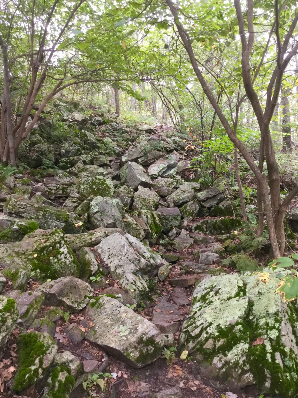
It was super cloudy out, but I was hiking strong. The terrain got rockier as we continued southbound. They call the Pennsylvania section “Rocksylvania” for good reason!

We’d pass a few potential lookouts and views before taking a break at Kirkwood Shelter for lunch. Sadly, it was a complete white out, so no scenic rewards.
There were a few scattered showers during the first half of the hike, but as we started to approach Wind Gap, the sky unleashed! It dumped rain on us all the way to Leroy A. Smith Shelter where we’d be ending our day. I was very relieved to get there and dry off. Not only does it suck royally to hike in the pouring rain, but I was beginning to run out of steam.
There was only one other person sharing the shelter with us. His name was Monk and he was a flip flopper* who was originally from Pittsburgh, but had been living in Colorado during his more recent years. He said he had been missing the trees on the east coast. This was one of his motivations for attempting a thru hike on the AT in particular. He informed us that he had seen a black rat snake drinking water from a puddle out front. After seeing Monk, it made its way under the shelter. Hey, shelter snakes mean no mice!
We’d try to catch water from the roof in the middle of the night which would fail to work out to our benefit. Frisbee will be sleeping poorly the next few nights. His sleep pad was deflated.
Distance Hiked: 20.1 miles (32.3 km)
*Some people hike the AT northbound (NOBO, for short), other hike southbound (SOBO), and then there are people who will start hiking in one direction, then “flip” and hike the rest of the trail in another which is called a “Flip Flop“.
Jump Ahead to Part 2
or
